Lake Tahoe Map


Lake Tahoe Map
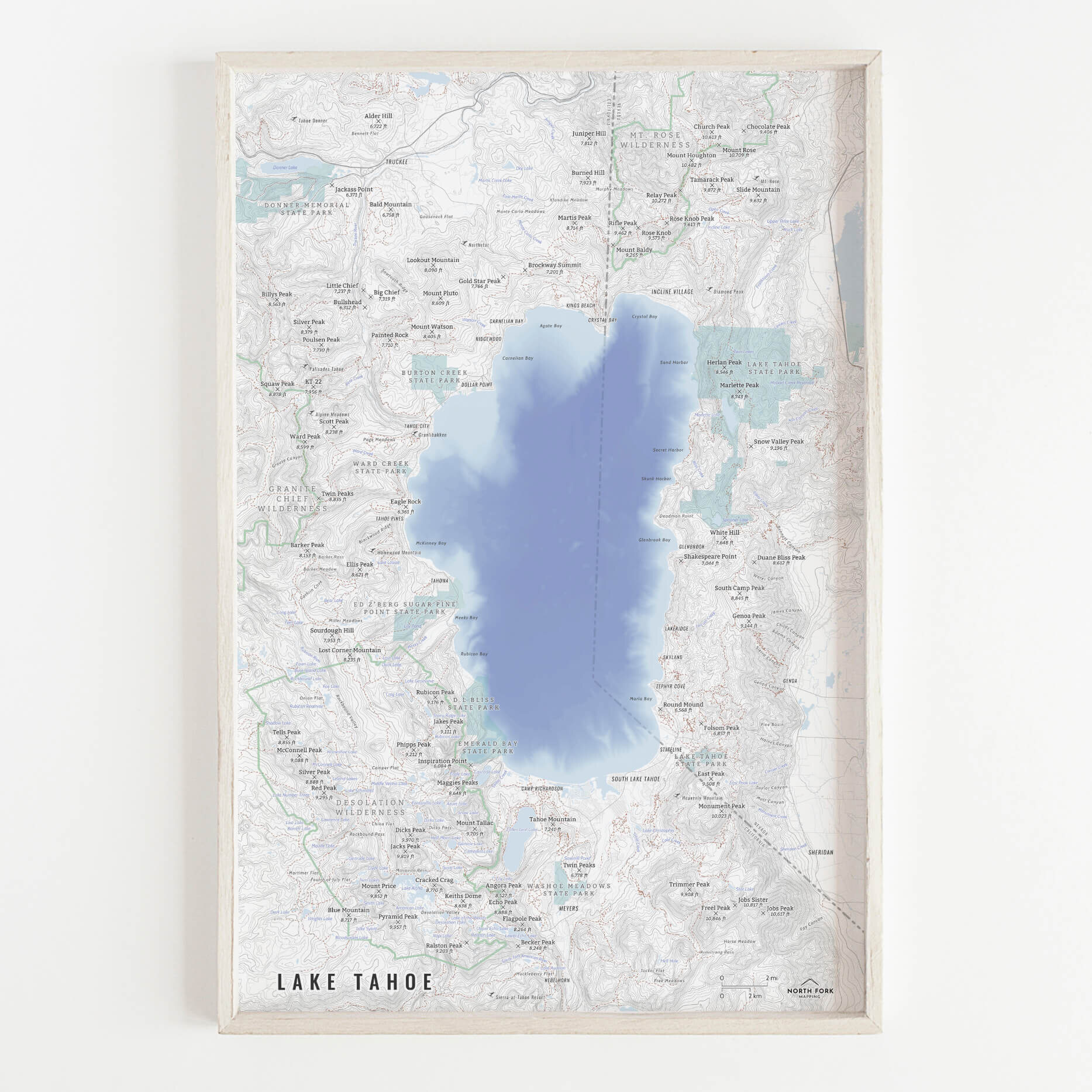
Lake Tahoe map. From Truckee to Meyers, from Desolation Wilderness to Mt. Rose Wilderness, we’ve got you covered with this map. This map also features the first of our bathymetric series - you can get the map with Lake Tahoe the same color as every other lake or opt for bathymetric data, showing the depth changes throughout the lake.
See below for descriptions of our signature styles for this map.
Prints are shown framed for display purposes only.
Lake Tahoe map!
We have three signature styles of map depending on what you’re looking for:
“Minimalist” - Title and topo lines with hydrology. Clean, simple, elegant. More of an “art” look than a “map” look.
“Just The Basics” - This style adds in roads and mountain summits as well as a scale bar.
“All The Things” - Just as it sounds. The mappiest of them all. Adds in state parks, wilderness boundaries and labels, trails, state line and labels, lake and stream labels, the railroad, towns, ski resorts, and common place names.


