 Image 1 of 5

 Image 2 of 5

 Image 3 of 5

 Image 4 of 5

 Image 5 of 5


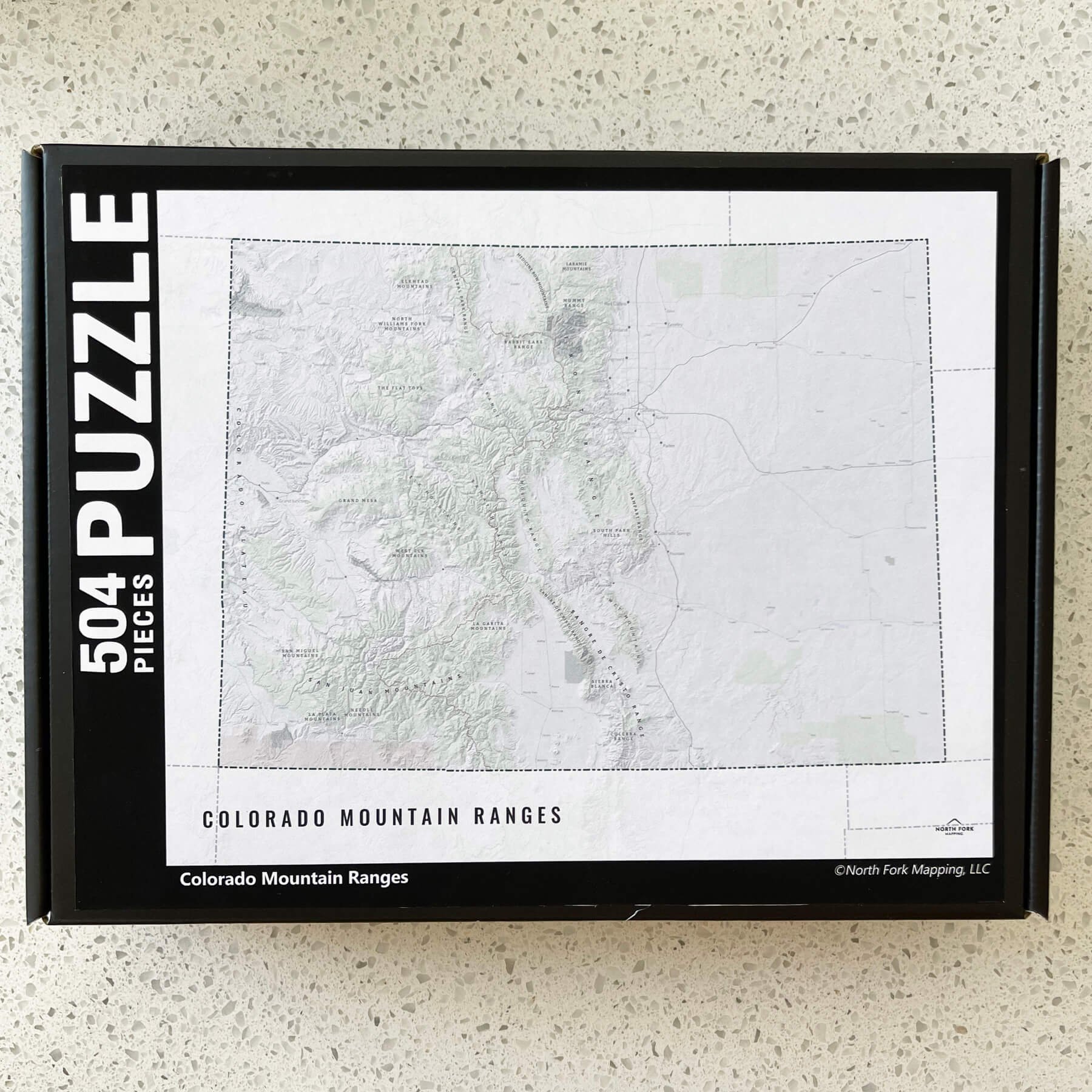
Colorado Mountain Ranges Map
A map of the mountain ranges in Colorado! From the Front Range to the San Juan Mountains, we’ve got you covered with this map.
See below for descriptions on our three signature styles. This one is available in sizes 16”x20” and larger due to the level of detail with the mountain range labels.
Prints are shown framed for display purposes only.
Colorado Mountain Ranges!
We have three signature styles of map depending on what you’re looking for:
“Minimalist” - Title and hillshade with labeled mountain ranges. The boundary of Colorado masks the surrounding states so Colorado doesn’t appear to be floating with no surrounding information, but still highlights Colorado. Clean, simple, elegant.
“Just The Basics” - Adding onto the minimalist style with general land ownership polygons and a road network for reference. A basic map.
“All The Things” - Just as it sounds. The mappiest of them all. Adding the Continental Divide Trail and label, and cities scaled by population size.


