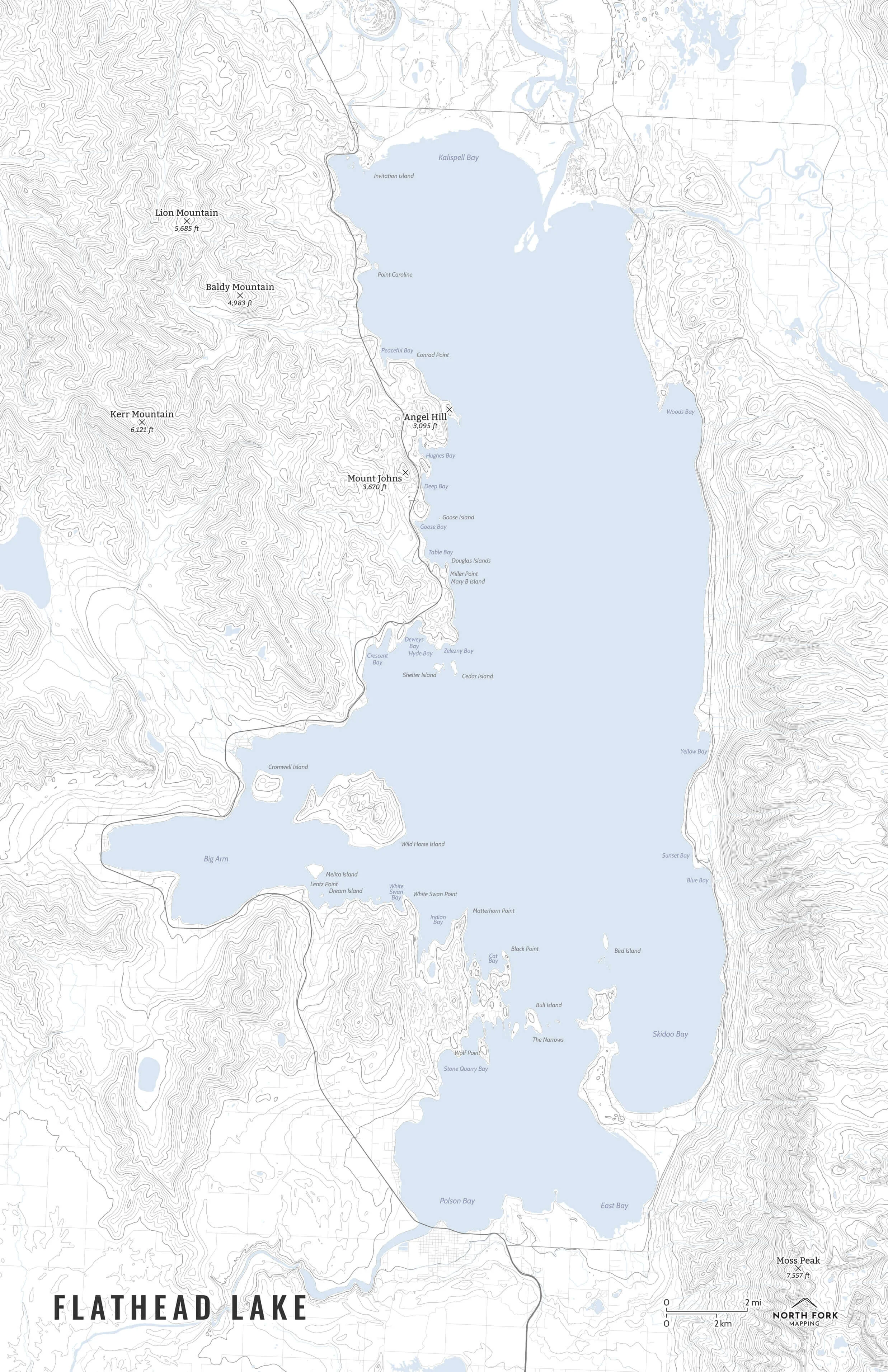
Montana Tallest Peaks
A poster of the tallest named peaks in Montana. A zoomed in topo map with contours of each peak with its name and elevation below. Named peaks were pulled from USGS Geographic Names Information System (GNIS).
If you love exploring Montana, this is the perfect addition to your home. Comes in several different colors. Currently available in 16”x20” and 24”x30”.
Prints are shown framed for display purposes only.
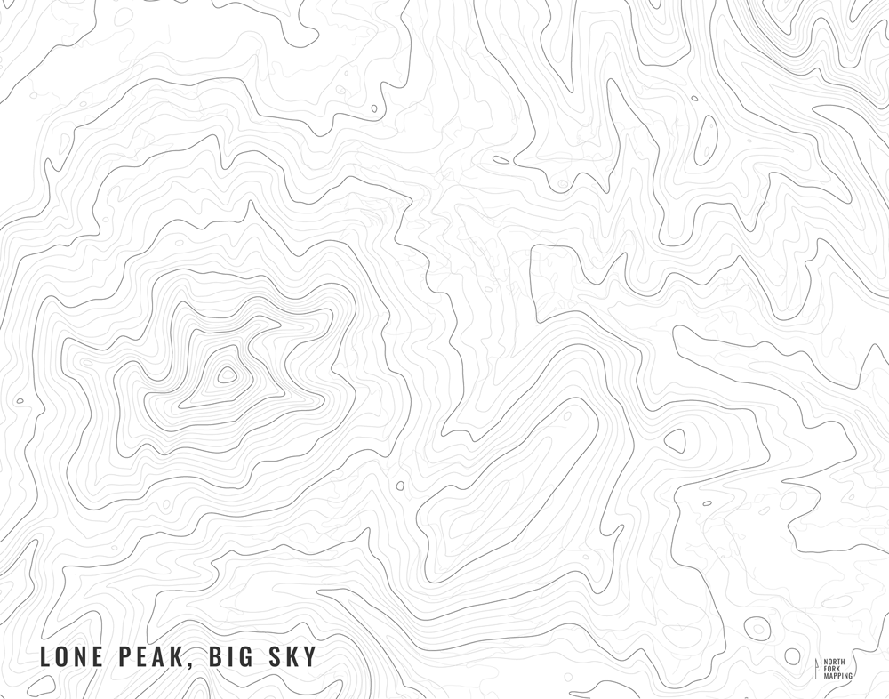
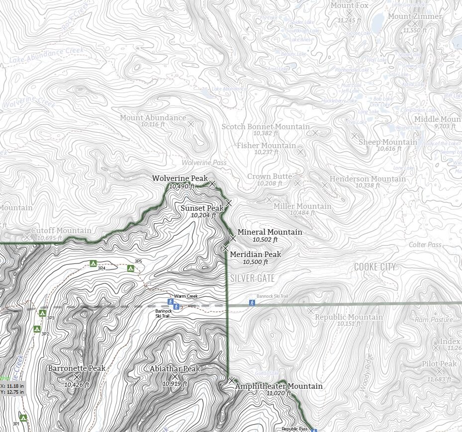